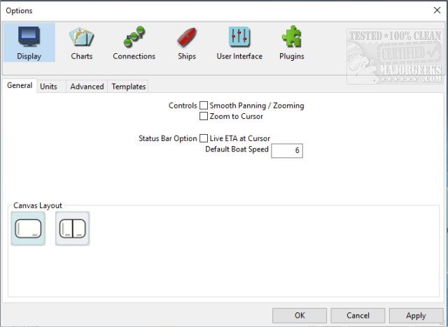
OpenCPN is a chart plotter and navigational app whether you're underway or making plans for a trip.
OpenCPN is a chart plotter and navigational app whether you're underway or making plans for a trip.
Supported Chart Formats:
Worldwide standard S57 and encrypted S63 vector chart support.
BSB v3 and earlier raster charts.
CM93 vector charts with per-cell offset corrections.
Up-to-date ENCs for selected worldwide regions, distributed by o-charts.org
AIS:
AIS input with full target tracking and collision alerting.
AIS support for SART with selectable MMSI for automatic MOB handling.
AIS support for DSC and GPSGate buddies.
Routes:
Route planning with tidal support.
Built-in great-circle routing.
Integrated weather routing through qtVim or a separate plugin.
GPS Tracking:
Route navigation with ship tracking functions.
Waypoint navigation.
Autopilot output support.
Alarms:
Anchor watch/alarm functions.
MOB Alarm with tracking.
Weather:
GRIB and GRIB2 file input and display for weather forecasting.
OpenCPN also supports over 30 plug-ins.
Download


