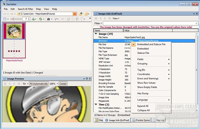
GeoSetter allows easy viewing and altering of geodata as well as other metadata (Exif/IPTC/XMP) on image files and incorporates ExifTool for data writing. It is available in a portable version as well for use on the go!

Download
GeoSetter allows easy viewing and altering of geodata as well as other metadata (Exif/IPTC/XMP) on image files and incorporates ExifTool for data writing. It is available in a portable version as well for use on the go!
This tool can permit you to change the date of when an image was taken in an easy-to-use manner. It also allows synchronization with track files (GPX, IGC, NMEA, PLT, Sony LOG, and others) as well as with already geotagged images with accompanying buddy images (i.e., between RAW images and their corresponding JPEG images).
GeoSetter can read and write JPEG and TIFF formats as well as RAW formats DNG (Adobe), CRW, CR2 and THM (Canon). Also NEF and NRW (Nikon), MRW (Konica Minolta), PEF (Pentax), ORF (Olympus), ARW, SR2, SRF (Sony) and RAF (Fujifilm), RW2 and RAW (Panasonic), and RWL (Leica). It will provide you with the existing geo coordinates, image directions and tracks on an embedded Google Map. It will also correctly set geodata via embedded Google Maps, or you can enter the known values for coordinates and altitude directly into GeoSetter. Additionally, it can automatically fill in location IPTC fields as well as altitude values, and those IPTC data (IPTC-NAA/XMP) are editable. It also supports exporting to Google, toolbar customization, keyboard shorts, and the ability to enter in additional ExifTool commands.

Download

